 |
 |
 |
|
| [ 1, 2, 3, 4] |

| Geographic Information Science, or GIS, as defined by the U.S. Federal Interagency Coordinating Committee is
"a system of computer hardware, software, and procedures designed to support the capture, management,
manipulation, analysis, modularity and display of spatially referenced data for solving complex planning
and management problems" (Robinson et al. 1995). In other words, GIS provides the ability to create maps
from digital data and integrate it into an automated system so that the relationship of the data sets can
be analyzed.
Every detail that our eyes, ears and nose can sense is a candidate for conversion to a digital record as input to a GIS (Robinson et al 1995). Hence, data can be derived from a variety of sources. For instance, all disciplines of Geography (Physical, Cultural, Economic, Historical and/or Remote Sensing) can be integrated into a GIS. |
|
|
|
|
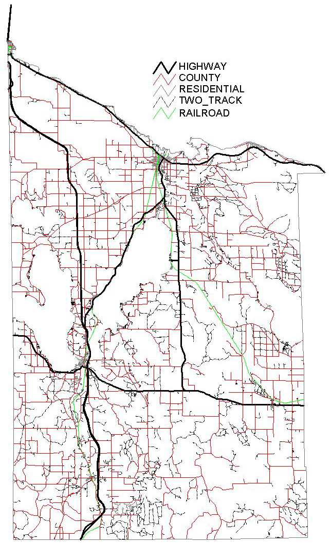
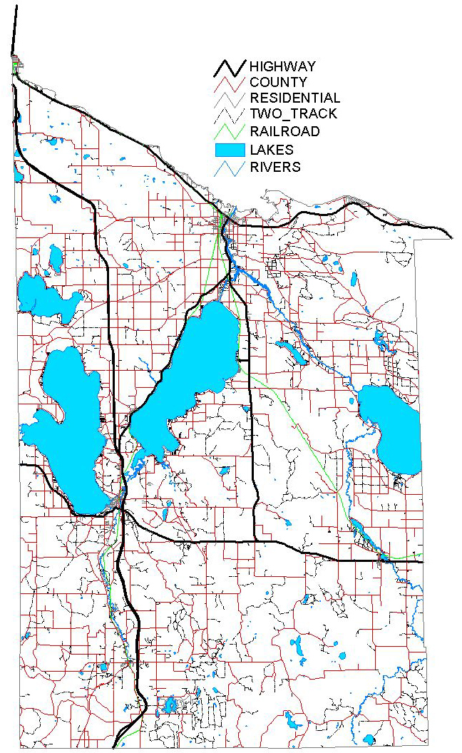
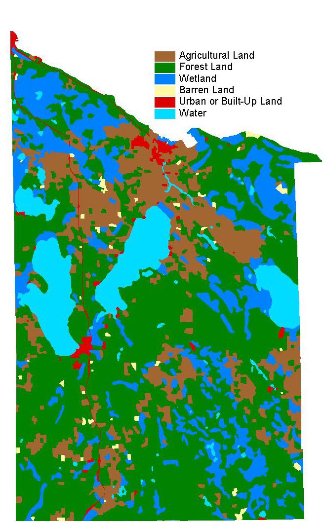
| The maps above are all various examples of a GIS. Each were created in a GIS software package.
The data layers can be displayed and analyzed separately (as shown in the Roads Map) or they can be
viewed with other data layers overlayed on top of one another (as shown in the Roads and Lakes Map).
The data for these maps was obtained from the Michigan Resource Information System (MIRIS) and the United
States Geological Survey (USGS).
The Roads Map is an example of a map in which can be used to answer questions about areas that roads are affecting such as wildlife, habitat, and more specifically, the white pine species. The Roads Map can also help determine where new roads should or should not be built. The Roads and Lakes Map is an example of how a GIS can overlay data on a single map. The advantage to this is that several observations can be made for a single location. For example, if one overlaid the land cover data with soil data, it would be po ssible to determine where a stand of white pines would thrive. |