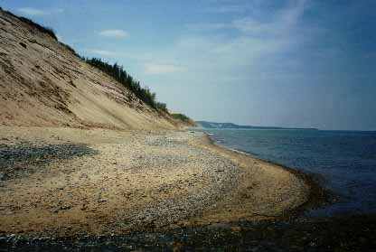
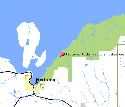
Pictured Rocks National Lakeshore stretches for 40
miles along the Lake Superior coast of Michigan's Upper Peninsula.
The effects of Lake Superior's waves and water have given the cliff rock
faces distinctive color features, hence the name.
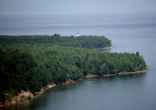
One of the area's highlights is the Au Sable Point
Lighthouse on the northwest shore, built in 1874. Hiking trails also
pass along the lakeshore, allowing a view of shipwrecks along the coast.
Hiking, fishing, hunting, boating, and camping are
all possible activities at Pictured Rocks. The area also contains
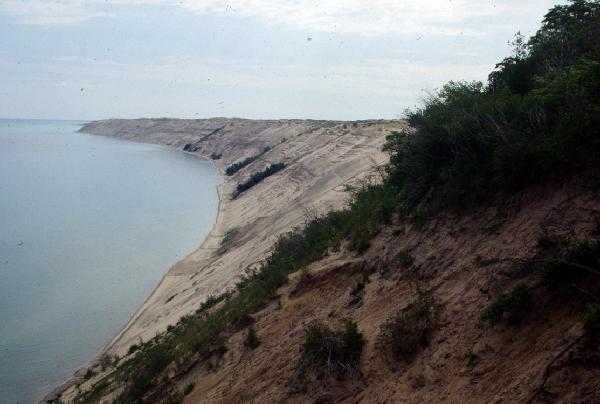
beaches and sand dunes, with the Grand Sable Dunes topping out at over
200 feet.
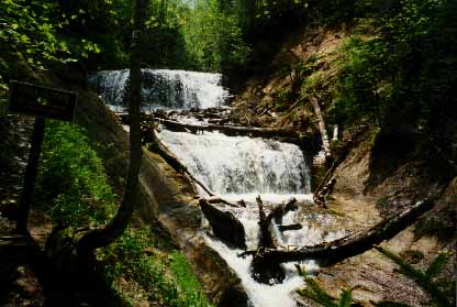
Other sights within Pictured Rocks National Lakeshore
include three visitor and information centers, Sable Falls, and the 50
foot Munising Falls.
Pictured Rocks National Seashore: project..exploringthenorth.com/pictrocks/pr.html
GORP: Pictured Rocks information:
project..gorp.com/gorp/resource/us_ns/mi_pictu.htm