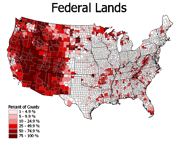
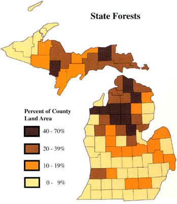
In the 1920's and 1930's, the US Government started a "resettlement program" which provided for direct purchase of marginal ag land and resettled those people onto more productive lands. Most of the purchased land was set aside for National or State forests. Some land swapping occurred between state and fed, moving state forest land to national forest land, and vice versa.
Source: Unknown
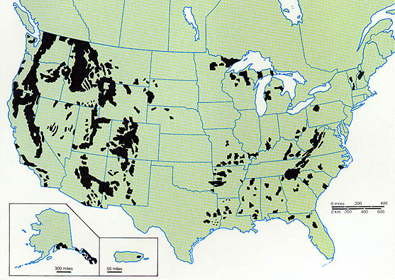
The map below shows the locations of all National Forests in the US. Note the prominence
of forests in the western US.
Source: Unknown
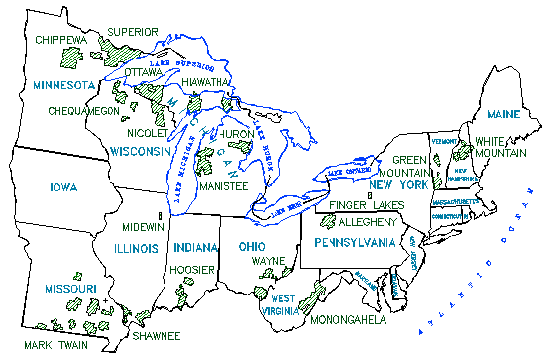
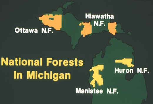
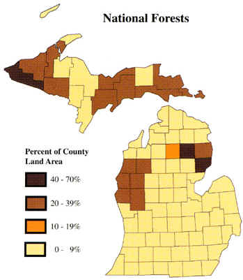
In the Northeastern US, National Forests are found in mountainous areas, and in the far north. Michigan has four National Forests:
Hiawatha (eastern UP)
Ottawa (western UP)
Huron (western lower peninsula)
Manistee (eastern lower peninsula)
Source: Unknown
Source: Unknown
The "placemat" maps (above) were produced by the Michigan
Geographic Alliance and the Science/Mathematics/Technology Center, Central Michigan
University, with funding from the U.S. Dept. of Education. For further information email Wayne.E.Kiefer@cmich.edu
Source: Atlas of Michigan
Source: Atlas of Michigan
This material has been compiled for educational use only, and may not be reproduced without permission. One copy may be printed for personal use. Please contact Randall Schaetzl (soils@msu.edu) for more information or permissions.