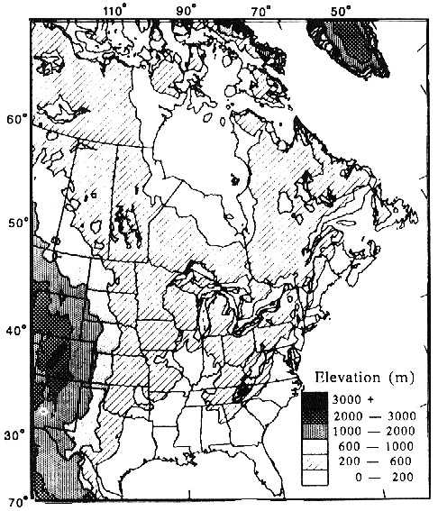
"Relief" is essentially
the opposite of "flatness". Relief is typically defined as the difference
in height between the high point and the low point on a landscape, in feet
or in meters. It could also be defined more qualitatively: like "low
relief plains" or "high relief rolling hills". Sometimes we also
differentiate a region of otherwise uniform relief by pointing out its
elevation, relative to the surrounding regions. Thus, is it an upland or a
lowland, such as the "Ozark Uplands" or "Central Lowlands". This section
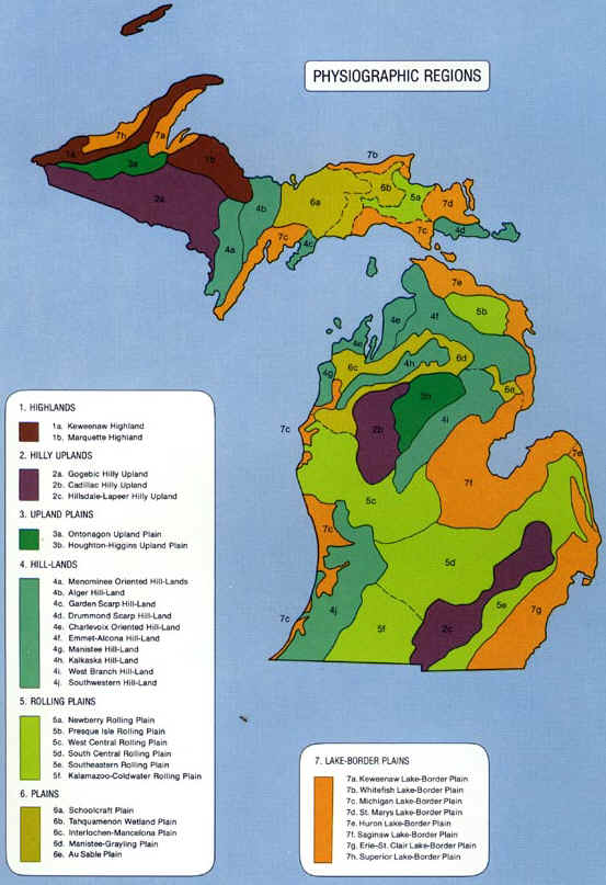
breaks the Great Lakes into different regions, based on the amount of
relief each region exhibits. The maps proceed from the general to the more
specific.
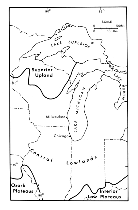
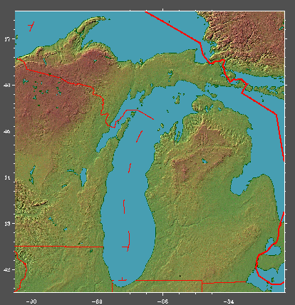
For Michigan, this map (above) shows that the western UP is an area of
higher relief and it is generally higher in elevation as well, hence it is
termed the Superior Upland. The remainder of the region is a lower-relief
area referred to as the Central Lowlands.
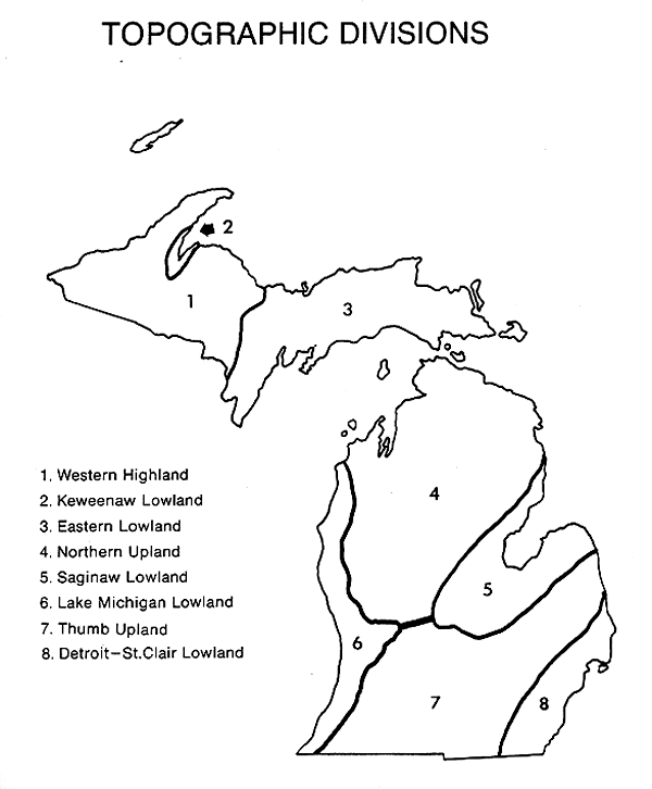
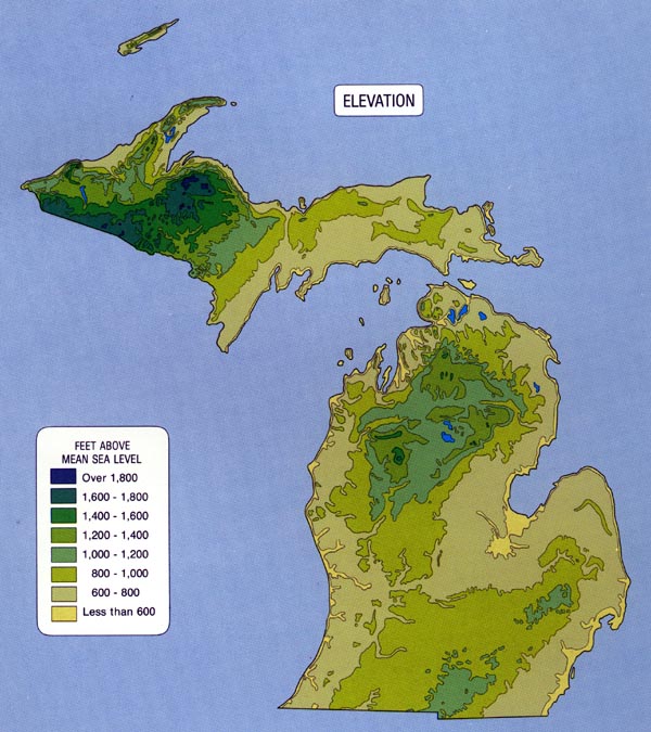
The map below shows much more detail about Michigan's relief. It is called a "relief-like" map, since it uses various colors and shading to shows areas of different elevation, and some shadowing to highlight steep slopes. Note the Superior Upland in the western UP, and the upland plateau in the north-central lower peninsula. Note also that most of the rest of the state is a generally low-relief landscape. In GEO 333 we will spend some time, however, examining the subtleties of the Michigan landscape--it's not all flat!
This material has been compiled for educational use only, and may not be reproduced without permission. One copy may be printed for personal use. Please contact Randall Schaetzl (soils@msu.edu) for more information or permissions.