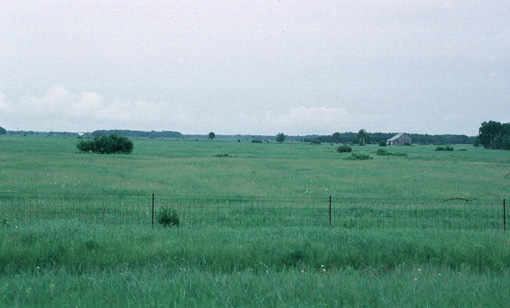
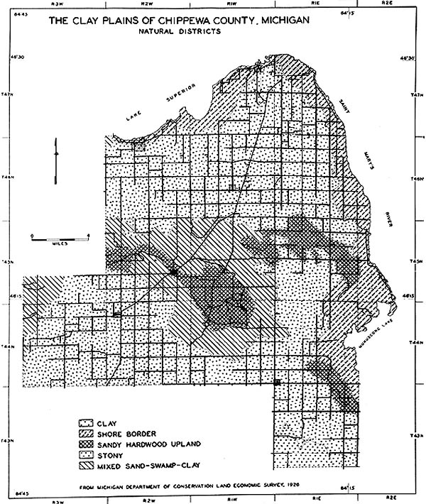
Chippewa County, in the eastern UP, is dominated by clayey soils on flat landscapes (see photo below).

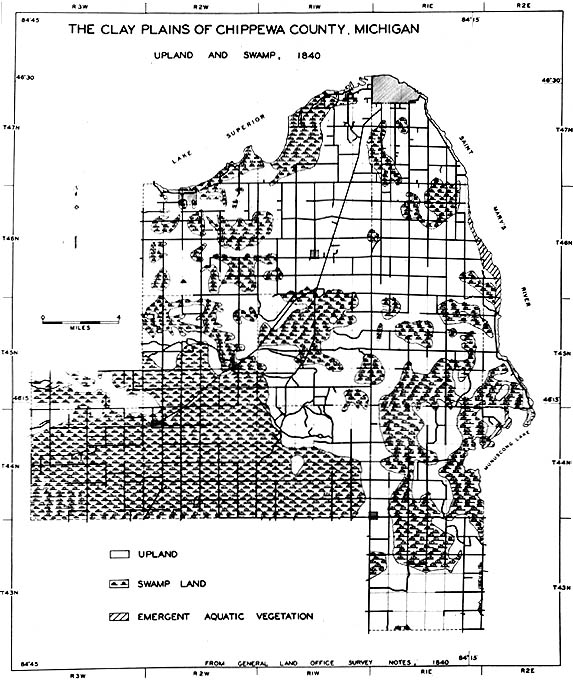
The clays were laid down beneath large proglacial lakes---Algonquin, and later, Minong. This type of landscape allows for the development of swamp vegetation, which is what the settlers encountered in the 19th century, and as the map below shows.

The great extent of the clay plains in Chippewa County is shown in the map below. Only three small areas of the county could even be considered "dry uplands".

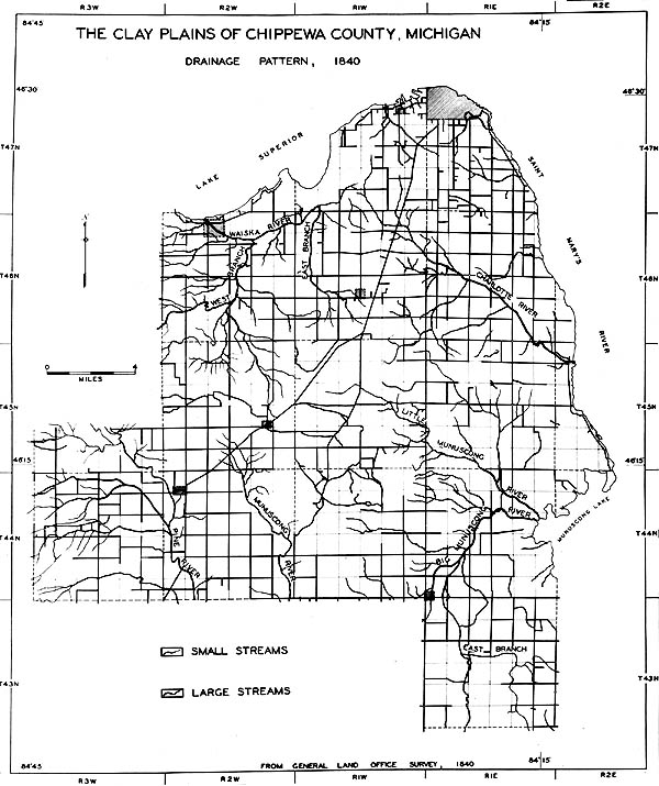
In 1840, most of Chippewa County was swamp, and the drainage system was poorly integrated. Many small streams meandered about the county, but because of their low gradients, were unable to "drain" the swamps and make them useable. Eventually, drainage ditches were dug and subsurface drains installed, drying out the clayey soils and making them into prime farmland. After drainage, the clay plains of Chippewa County became an important crop-production area for the lumber camps of the UP. These camps, each with hundreds of horses, needed grain and especially hay in large quantities (see photo above--the land is still in hay!). Thus, the Clay Plains of Chippewa County essentially helped to "feed" Michigan's lumber boom.

This material has been compiled for educational use only, and may not be reproduced without permission. One copy may be printed for personal use. Please contact Randall Schaetzl (soils@msu.edu) for more information or permissions.